OUR SERVICES
Drone (UAS) & 3D Scanning Capabilities
Drone (UAS) & 3D Scanning Capabilities
Eustace Engineering offers a full range of aerial and ground-based reality capture services utilizing cutting-edge drone (Unmanned Aircraft System) technology and high-precision 3D laser scanning systems. These tools enable us to deliver rapid, safe, and highly accurate spatial data for a wide range of applications, from land surveying and site documentation to engineering design, construction verification, and asset management.
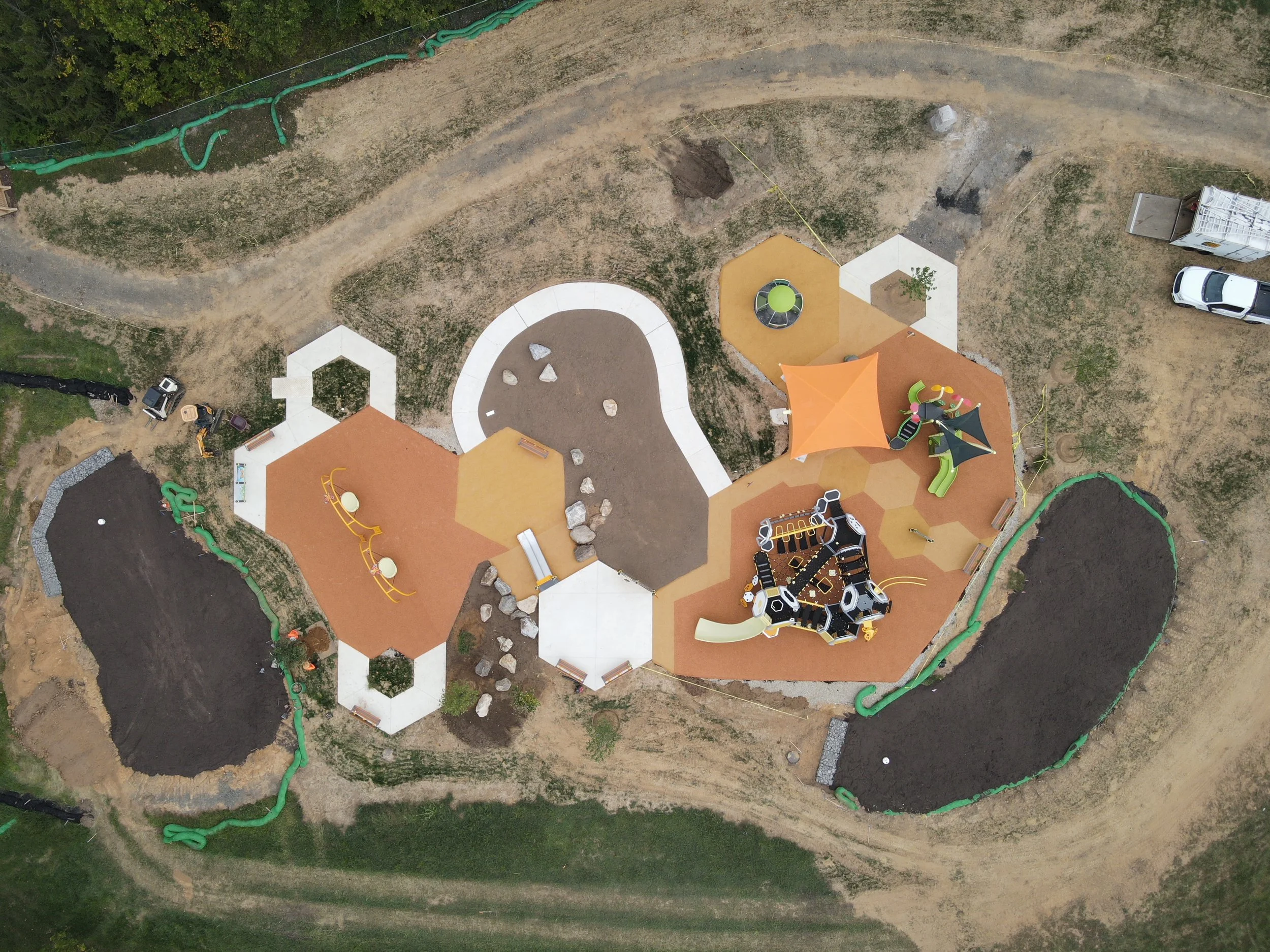
Aerial Drone Capabilities
Our drone operations are conducted by FAA Part 107 certified pilots using commercial-grade drones outfitted with professional sensors for photogrammetry and LiDAR applications. The advantages of drone-based data collection include minimal site disruption, efficient coverage of large or difficult terrain, and reduced field time compared to traditional methods.
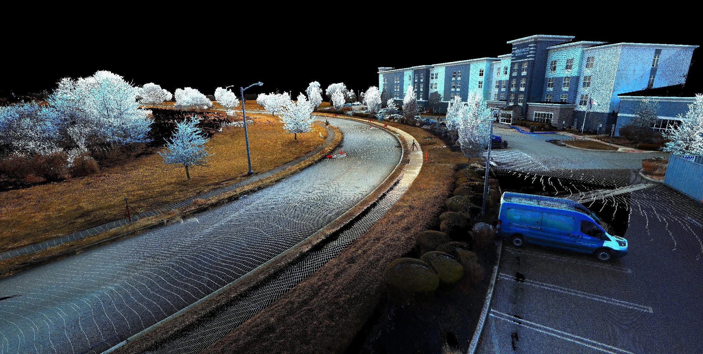
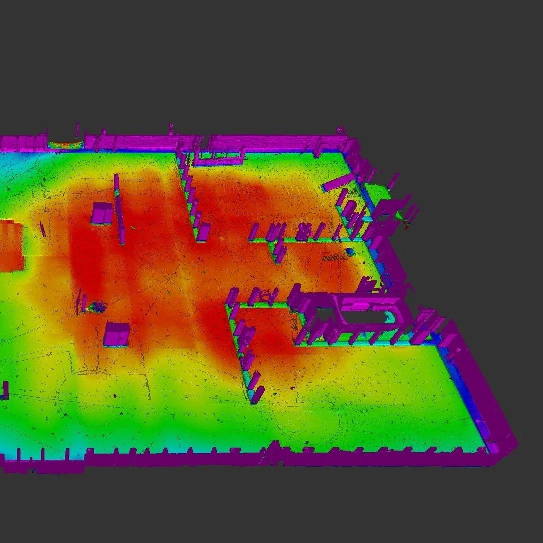
Terrestrial 3D Scanning Capabilities
Ground-based 3D laser scanning is used to capture highly accurate spatial data for detailed modeling and documentation. Our scanners create millions of 3D points (point clouds) per second, capturing complex geometries and site conditions with unmatched precision.
Drone (UAS) & 3D Scanning Capabilities
A VAST RANGE OF SERVICES
Topographic Surveys
Building and site as-built documentation
Façade Documentation
Infrastructure Documentation
Construction progress monitoring and verification
Earthwork calculations and stockpile volumes
Site Modeling
Structural deformation analysis
Utility and infrastructure mapping
Environmental assessments and erosion studies
Transportation corridor mapping
Accident and forensic reconstruction
Asset management and facility planning