OUR SERVICES
Aerial Drone Capabilities
Aerial Drone Capabilities
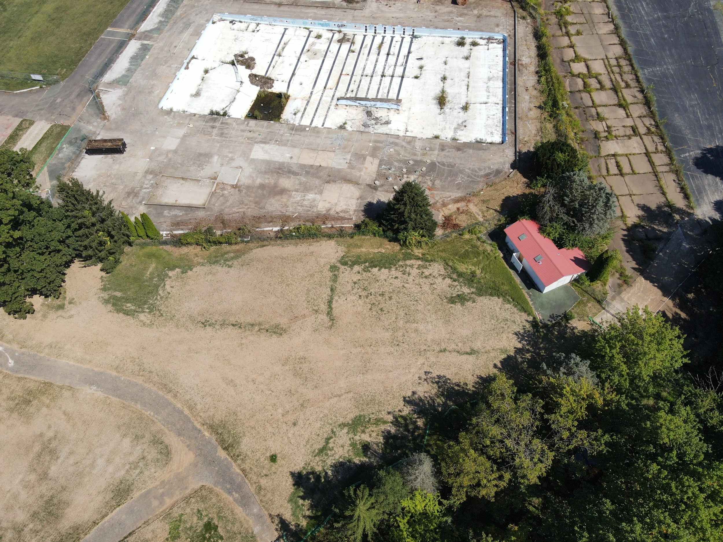
Our drone operations are conducted by FAA Part 107 certified pilots using commercial-grade drones outfitted with professional sensors for photogrammetry and LiDAR applications. The advantages of drone-based data collection include minimal site disruption, efficient coverage of large or difficult terrain, and reduced field time compared to traditional methods.
Aerial Drone Capabilities Key Features Include
A VAST RANGE OF SERVICES
RTK/PPK GNSS Integration
Drones are equipped with Real-Time Kinematic (RTK) and Post-Processed Kinematic (PPK) positioning systems to ensure centimeter-level positional accuracy when paired with ground control points or GNSS reference networks.
Aerial Photogrammetry
We capture overlapping, high-resolution imagery to generate georeferenced orthomosaics, 3D surface models (DSMs), and point clouds. These datasets are ideal for creating topographic maps, base plans, and contour models.
LiDAR Mapping (Drone-Mounted)
UAV LiDAR sensors collect millions of data points per flight, enabling accurate 3D mapping of terrain and features—even through vegetation or areas with poor visibility from the ground. This is particularly useful for corridor mapping, floodplain modeling, and forestry applications.
Orthophoto Production
Using structure-from-motion (SfM) techniques, we generate sharp, spatially accurate orthophotos with resolutions as fine as 3 cm per pixel or better. These are commonly used in design planning, surface analysis, and asset documentation.
Volumetric & Surface Analysis
Drone data is used to calculate earthwork volumes, monitor stockpile quantities, and compare surfaces over time to track construction progress or detect changes.
Automated Flight Planning
We use advanced flight planning software to optimize flight paths, coverage overlap, and terrain-following, ensuring consistent data capture and adherence to safety protocols.
Regulatory Compliance & Safety
All operations are conducted in accordance with FAA Part 107 regulations. Airspace reviews, waivers, and risk assessments are performed for every mission to ensure safe and legal operations.